From tiny seafloor features in the Gulf of Mexico to craters pocking the surface of Mars, the details on these maps captivate and fascinate.
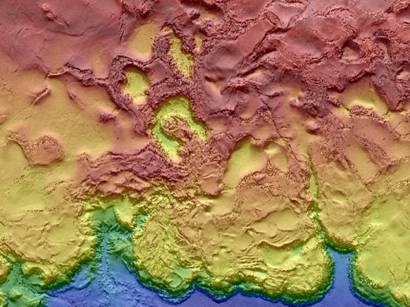
A snippet of a new billion-pixel map of the Gulf of Mexico shows salt domes and minibasins. Credit: BOEM
They say a picture is worth a thousand words. For Earth and space scientists, a certain class of images is worth much, much more.
These images are maps. They can slice across time and space, overlaying information on never-before-seen features or changing landscapes. They can even highlight how humans change those same landscapes. Maps are central to our sciences; without them, we’re just playing in the dirt.
This Earth Science Week, we took a look back at the many breathtaking maps highlighted in Eos and in American Geophysical Union blogs. These maps represent hundreds of hours of work by scientists and engineers. And many are fascinating works of art in their own right—we could spend hours poring over their fine details, patterns, and colors.
Here are 10 of our favorite such maps, in no particular order. Come marvel with us:
link alla pagina
Commenti